National Park Detour. Kanab, UT to Crescent City, CA pt. 2
The route from Kanab, UT to Crescent City, CA — the National Park detour.
About this trip
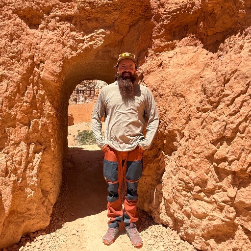
This is part two of our trip from Denver to Alaska. Every camp spot is accessible in a Honda Civic. Except the one by the Salton Sea. There is a good amount of dirt roads but they're all manageable and mostly taken care of with some washboarding here and there.
Waypoints along the way
Seventeen stops from Kanab to Crescent City — camp spots, national parks, and the details you need to run this route yourself.
Camp off Hancock Road
Great camp spot off of Hancock road. Enough shrubbery to hide from the wind, still giving you great views.
37.14349, -112.59488Grand Canyon basecamp
Could be my favorite camp site I've been to. Just outside of NPS service boundaries and great access to Grand Canyon Village (about 30 minutes) away. Big level spots, a lot of decent spots, more moths than I could count.
35.96199, -111.96593Hidden in the trees near Red Butte Airfield
We stayed here after exploring the Grand Canyon while making our way south towards Flagstaff. Great spot hidden in the trees you will hear some mining trucks but it wasn't bad. You can explore the Red Butte Airfield easily.
35.84936, -112.09786The Overland Expo camp — Flagstaff
If you're in town for the Overland Expo this is the place to stay! Free, awesome views, quiet, and about 15 minutes from the Expo entrance. Big enough we had 3 rigs and a RV with plenty of room to share.
35.05806, -111.67709A few days with family
We stayed with family for a few days. Added to show the accurate route we took.
32.46416, -111.12026The Salton Sea rock garden
This is by far one of the longest and crappiest dirt roads of my life. The spot was beautiful surrounded in giant rock structures and close to explore the Salton Sea. It very well was the hottest night we have camped on the entire trip.
33.61146, -116.00983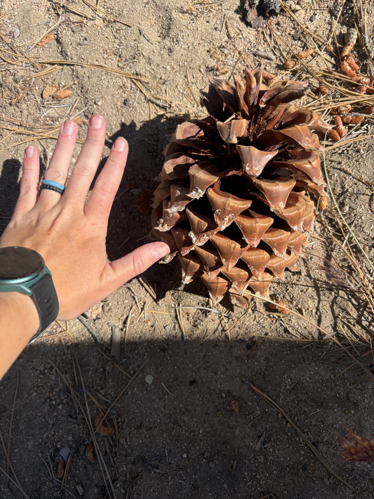
Pacific Crest Trail campground
An extremely long and windy road from the highway. The Pacific Crest trail runs near the camp so a lot of them in the CG but it a nice spot. Quiet, cooled off nicely, and restrooms for the wife. We would've stayed more than one night had it been a little closer to what we wanted. And by far the BIGGEST pine cones I have ever seen.
35.83989, -118.04229Alabama Hills — Lone Pine
An amazing spot to explore the town of Lone Pine, Death Valley, Cerro Gordo and Manzania War Relocation Camp. We spent a week here. It is in the Alabama Hills and I was unsure if you needed a free permit to stay here. So we stopped at the Visitor Center in Lone Pine to get one. We never got asked for it or anything.
36.62027, -118.20917Another family stop
Stayed with family here again, put it for the accurate route description.
36.32964, -119.29016Free camping outside Sequoia National Park
Free Camping right outside of Sequoia National Park that a Park Ranger told us about. About an hour from the sights of the park but it was free. There's probably 5 good spots and another 10 that are good but hard to get level. There is a flat paved part that RVs park in but I hate listening to generators so we went a little further back.
36.60376, -118.72948A rare paid spot
One of our rare paid spots. And there is nothing special about it a couple vault toilets and a dumpster. No water that I remember but it was convenient and available so we took it. There is a decent amount of space between spots so no one is staring at you. That is probably the highlight of it though.
36.81822, -118.83273The Snow Park camp
Easy, accessible, and clean. This is a Snow Park in the winter and was still a little snowy at the beginning of May but not bad. Plenty of flats spots and there was only one other person there.
37.48977, -119.62392Riverside campground
We loved this camp ground, close to the road, water, bathrooms, and flat. It was a paid site but the views and noise of the river was nice. SAR does use it as command point when they are working so we did have SAR from about 8pm-3am working with lights and chatting. But, they're working and tried to no disturb us to much. I am unsure how common they are at the camp.
37.61774, -120.02005A hotel night before Pinnacles
I'll be honest, we stank and needed showers. We got a hotel before heading to the Pinnacle National Park.
36.49886, -121.14081A cute campground near Paradise
Not very convenient but a cute little campground (paid) but it was nice and clean. The Camp host was an awesome guy and extremely friendly. You drive right by the town of Paradise which is a sad sight to see since it has been burned. The host was born/raised in Paradise and hearing his perspective on the fire and surrounding events was sad but amazing to hear.
40.07887, -121.55942Riverside spot with walking trails
When we stayed here it was free I believe it is paid after Memorial Day 2026. There is really only room for 1 truck or 2 if you're friends. Right by the river with walking trails to and from. It was kind of buggy but nothing terrible.
40.78122, -123.12883Not worth the $20 — Crescent City
Not worth the $20. Loud people everywhere. A major road with lots of semis. Seems to be a party spot for locals as there is a day use. Convenient if you're heading north but not very many spots for a truck camper style setup.
41.85369, -124.12156